Shetland MSP bids to outlaw isles being put in box on maps
Maps of Scotland frequently move the Northern Isles to a box in the Moray Firth to save space.
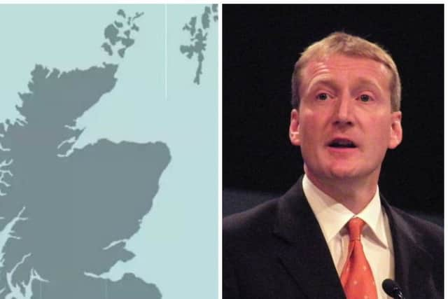
Shetland MSP Tavish Scott called for a Shetland mapping requirement to be enshrined in law, via an amendment to the Islands (Scotland) Bill, stipulating the public authorities must not take the box option.
Advertisement
Hide AdAdvertisement
Hide AdHis amendment stated: “The Shetland mapping requirement is that in any map of Scotland the Shetland Islands must be displayed in a manner that accurately and proportionately represents their geographical location in relation to the rest of Scotland.”

“My contention is the islands should be in the right place on the map,” the Liberal Democrat told Holyrood’s Rural Economy and Connectivity Committee.
“If I was closer to the Moray Firth or indeed in the Moray Firth I wouldn’t need to spend 12 hours going home on the boat from Aberdeen overnight.
“This is simply to ensure that in future that government publications and documents do reflect the reality of Scotland in terms of its geography, and not something that fits neatly on an A4 sheet of paper.”

Several committee members said they were sympathetic to the proposal, with Orkney MSP Liam McArthur saying his constituency suffered similar treatment.
He said: “There have been number of occasions that we have found ourselves bundled in a box and stuck in the Moray Firth.”
He said the concern is more than “presentational or superficial” as it gives rise to the misconception the islands are nearer the mainland than they are.
Conservative MSP Peter Chapman opposed the move, saying map specialists had told him it would reduce the scale of any map by about 40%.
Advertisement
Hide AdAdvertisement
Hide AdHe said the loss of detail in favour of a “whole chunk of sea” would be counterproductive.
Islands Minister Humza Yousaf said he would not stand for a similar situation if maps misrepresented his constituency of Glasgow Pollok.